Cart

No products in the cart.

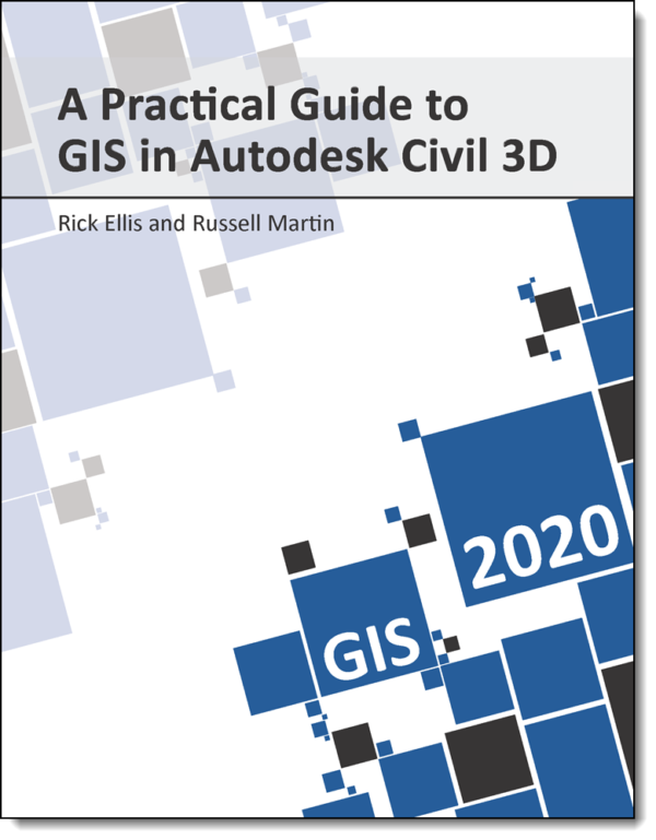
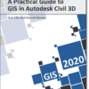
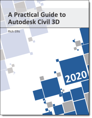
A Practical Guide to GIS in Autodesk Civil 3D 2020

A Practical Guide to GIS in Autodesk Civil 3D 2020

Physical Book ISBN 9781934865453

By Rick Ellis – Award winning Autodesk University speaker
$99.99

1 in stock

After Completing This Book You'll Be Able To

What Instructors Say

After trying many Civil 3D textbooks and training materials in my classes I have found A Practical Guide to AutoCAD Civil 3D to be comprehensive and detailed yet not overwhelming. This book is organized the way a professional would develop a civil engineering project giving clear and concise steps, exercises, and guides along the way to quick proficiency in using AutoCAD Civil 3D. The best on the market! I continue to recommend this guide to my colleagues.
Danial L. Perry, MBA, PLS
Utah Valley University
Rick Ellis is one of the leading authorities on Civil Engineering & Surveying software in the United States and the author of the Practical Guide series. He lectures and teaches seminars across the country. I have attended his seminars. The textbooks Rick Ellis has written have been an exceptional addition to my classroom. They are written with thought and imagination. They are direct and to the point. They are easy for the students to follow yet challenging enough to keep the students interested and using their skills and learning to think through exercises. I would suggest all Civil Engineering and Surveying professors review his books. Once read and reviewed I would venture to say, they will be using them in the classroom.
Robert Vetrano
Springfield Technical Community College

More About The Book

Welcome to the next generation of training materials for AutoCAD Civil 3D, the Practical Guide.

Learn the tools available in Autodesk Civil 3D to work with geospatial data. Leveraging GIS data will greatly enhance your civil engineering design efforts, while satisfying the ever increasing needs for it throughout the design process.

Each stand-alone lesson provides you with the foundation you need to effectively apply these features directly to your work flow. Follow clear, concise explanations, and work through real-world exercises to reinforce your understanding of common tasks that other civil engineering and surveying professionals are performing daily.

This large format book is spiral bound, to lie perfectly flat on your desk.

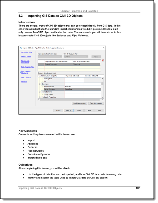
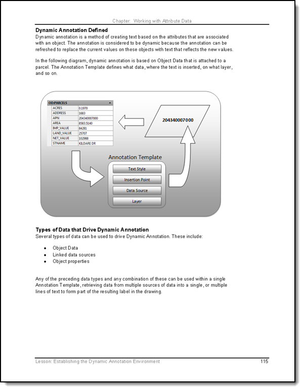
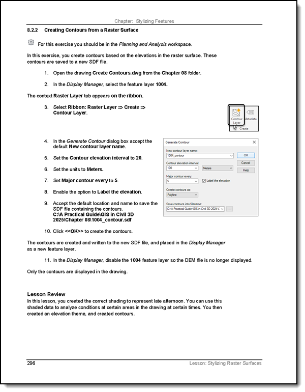
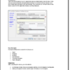
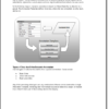
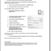
It features over 100 exercises organized into 48 lessons in 12 chapters. Each lesson includes detailed descriptions of processes and theory with many illustrations and diagrams, to help you understand “why”, not just “how”.

This book is suitable for anyone from general AutoCAD users to seasoned professionals in the Civil Engineering, Surveying, Mapping, Planning, Land Development or GIS industries.

This book has 474 pages, organized into 12 chapters, in a large-format, spiral bound volume.

Instructors: this book is used in classrooms worldwide. Find out more about using it in your next class.

Written, printed and published in the United States of America.

Author & Co-Authors

  • Rick Ellis, president of CADapult Software Solutions, Inc, has worked with and taught Autodesk Civil 3D, along with Map 3D and other Autodesk products since the mid-90s. He is the Author of several critically acclaimed books on Autodesk Civil 3D, AutoCAD Map 3D, Land Desktop and Carlson Software; including the Practical Guide  series.

    Rick continues to use Autodesk Civil 3D on projects in a production environment, in addition to teaching classes to organizations both large and small around the country, helping them get the most out of their design software investment.

    This practical background and approach has made him an award winning speaker at Autodesk University and a sought after instructor by organizations around the world.

  • Russell Martin is the technical editor of many of CADapult Software Solutions’ training books, and is the co-author of “A Practical Guide to AutoCAD Map 3D”, “A Practical Guide to GIS in AutoCAD Civil 3D” and “Digging into AutoCAD Map 3D ” (plus many earlier editions, suitable for learning Map 3D back to the 2004 release).  He has also written many articles and white papers on CAD and GIS software.

    Russell has nearly three decades of experience using AutoCAD, and has been a power user since release 11, pushing the envelope in the mid-1990s for mapping and analysis using Autodesk Data Extension (ADE) tools, the precursors to AutoCAD Map.

    He has taught AutoCAD and AutoCAD Map 3D to hundreds of users; one-on-one, in small classrooms, as well as at large venues including Autodesk University.  He welcomes your connection through LinkedIn.

Weight 3.6 lbs
Dimensions 11.25 × 10 × 1.5 in

Features And Benefits Of All CADapult Software Books