After Completing This Book You'll Be Able To
- Creating Horizontal Alignments
- Editing Alignments
- Working with Superelevatons
- Working with Profiles
- Working with Corridors
- Designing Intersections
- Working with Pipe Setting and Rules
- Designing Pipe Networks
- Working with Grading Criteria
- Grading with Feature Lines
- Performing Finished Surface Analysis
- Calculating Final Earthwork Volumes
- Managing Project Data with Vault
What Instructors Say
More About The Book
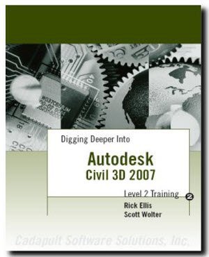
This advanced level Civil 3D book builds on the foundations of our popular introductory level books for AutoCAD Civil 3D, while completing a rural highway design project.
This book is 442 pages long, organized into 7 chapters.
Author
-
Rick Ellis, president of CADapult Software Solutions, Inc, has worked with and taught Autodesk Civil 3D, along with Map 3D and other Autodesk products since the mid-90s. He is the Author of several critically acclaimed books on Autodesk Civil 3D, AutoCAD Map 3D, Land Desktop and Carlson Software; including the Practical Guide series.
Rick continues to use Autodesk Civil 3D on projects in a production environment, in addition to teaching classes to organizations both large and small around the country, helping them get the most out of their design software investment.
This practical background and approach has made him an award winning speaker at Autodesk University and a sought after instructor by organizations around the world.