After Completing This Book You'll Be Able To
- Repairing Incomplete or Inaccurate Geometry
- Collecting Data from Different Sources
- Attaching Data to AutoCAD Objects
- Automating Annotation of AutoCAD Objects
- Using Better COGO Tools
- Using Multiple Coordinate Systems
- Inserting Rectified Raster Images
- Using Contour Data from GIS Sources
- Learning the Basics of Queries
- Extracting Data for Reports and Quantity Takeoffs
- Quickly and Easily Mapping your Data
- Exporting to DWF and other Software
What Instructors Say
More About The Book
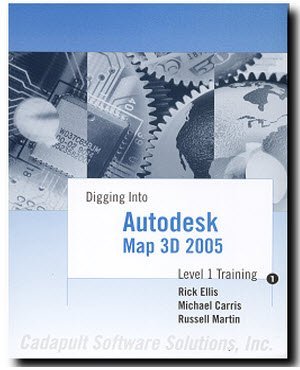
An introduction to the most useful features of this powerful, yet often overlooked Autodesk software. The authors are skilled instructors with direct industry and classroom experience.
This book was written using the 2005 version of Map, but is appropriate for 2004 and 2006 versions, as well.
This book is suitable for anyone from general AutoCAD users to seasoned professionals in the Civil Engineering, Surveying, Mapping, Land Development or GIS industries. It is 432 pages long, organized into 19 chapters.
This book is largely exercise based, providing step-by-step procedures for many common tasks. While it continues to be used as the framework for instructor led training, it can also stand alone as reference material for users of all skill levels. The included dataset is structured so that you can pick up at any chapter and learn just the features you need to accomplish a specific task. Or, follow the exercises cover-to-cover for an excellent grasp of all the major features of this powerful and versatile software.
Author & Co-Authors
-
Rick Ellis, president of CADapult Software Solutions, Inc, has worked with and taught Autodesk Civil 3D, along with Map 3D and other Autodesk products since the mid-90s. He is the Author of several critically acclaimed books on Autodesk Civil 3D, AutoCAD Map 3D, Land Desktop and Carlson Software; including the Practical Guide series.
Rick continues to use Autodesk Civil 3D on projects in a production environment, in addition to teaching classes to organizations both large and small around the country, helping them get the most out of their design software investment.
This practical background and approach has made him an award winning speaker at Autodesk University and a sought after instructor by organizations around the world.
-
Russell Martin is the technical editor of many of CADapult Software Solutions’ training books, and is the co-author of “A Practical Guide to AutoCAD Map 3D”, “A Practical Guide to GIS in AutoCAD Civil 3D” and “Digging into AutoCAD Map 3D ” (plus many earlier editions, suitable for learning Map 3D back to the 2004 release). He has also written many articles and white papers on CAD and GIS software.
Russell has nearly three decades of experience using AutoCAD, and has been a power user since release 11, pushing the envelope in the mid-1990s for mapping and analysis using Autodesk Data Extension (ADE) tools, the precursors to AutoCAD Map.
He has taught AutoCAD and AutoCAD Map 3D to hundreds of users; one-on-one, in small classrooms, as well as at large venues including Autodesk University. He welcomes your connection through LinkedIn.